


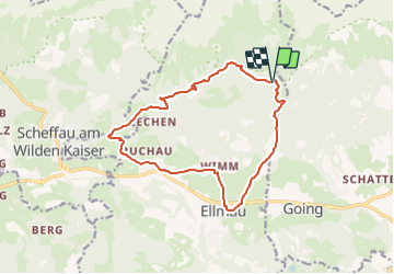

7,7 km | 10 km-effort

Tous les sentiers balisés d’Europe GUIDE+


Application GPS de randonnée GRATUITE
 SityTrail
IGN / Instituts géographiques
SityTrail World
Le monde est à vous
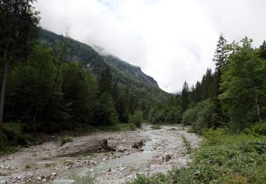
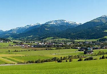
Randonnée A pied de 14,1 km à découvrir à Tyrol, Bezirk Kufstein, Gemeinde Ellmau. Cette randonnée est proposée par SityTrail - itinéraires balisés pédestres.
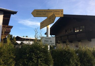
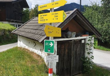
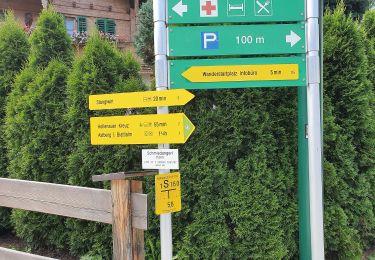
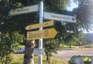
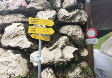
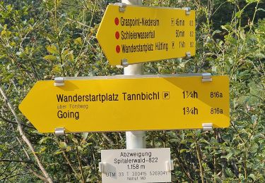
Symbole: Orange, gelbe oder rote Schilder mit schwarzer Schrift


A pied
A pied
A pied
A pied
A pied
A pied
A pied
A pied
A pied